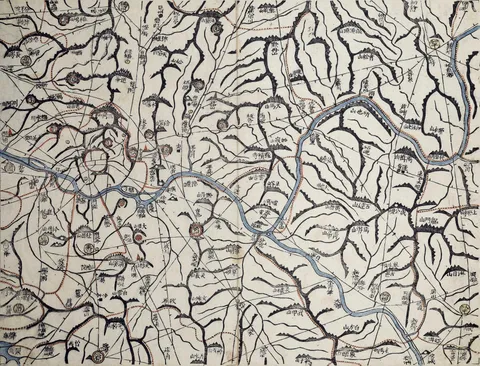
Daedong yeojido published
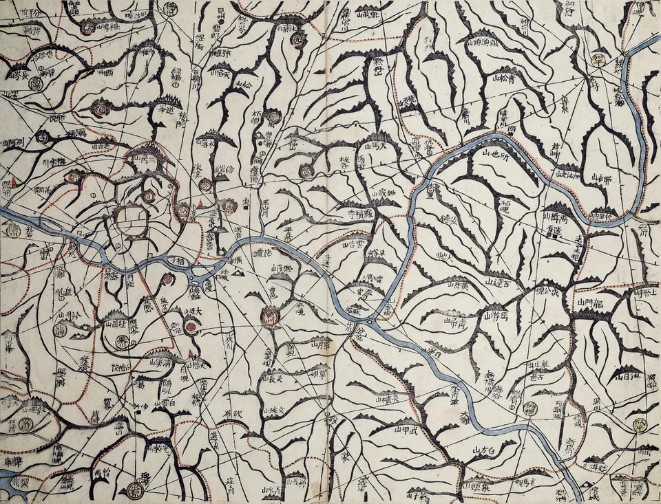
Kim Jeong-ho published a woodblock map of the whole country in 22 folding sections; laid out together they form a map nearly seven metres tall.
김정호 · Public domain · Source
Kim Jeong-ho had gathered geographic information for the whole country in earlier maps, Cheonggudo and Dongyeodo. The Daedong yeojido of 1861, the 12th year of King Cheoljong, was cut on woodblocks so that many copies could be printed.
The country was divided north to south into 22 tiers 120 li apart, each folded every 80 li east to west like a book. Dots every 10 li along roads showed distances, mountain ranges and rivers were drawn in detail, and post stations, beacons, granaries and county seats were marked with a legend of symbols.
It crowned late Joseon cartography, including Jeong Sang-gi’s Dongguk jido with its 100-li scale. Some of the woodblocks survive in the National Museum of Korea. The story that the Daewongun seized the map and jailed Kim has no basis.